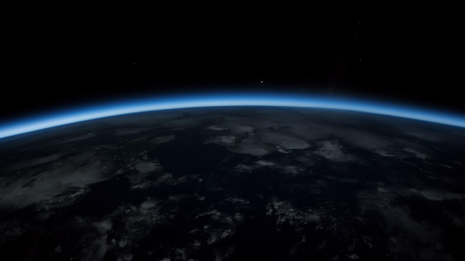
DeepEarth · For the Google Maps team
Maps answers where.
We answer when.
DeepEarth is a coordinate-level memory of the planet. Drop any lat/lng and see what stood there 66 million years ago, 20,000 years ago, and what is vanishing from it this decade.
A temporal layer. Not a competitor. Built with an editorial spine engineering alone cannot ship — paleontology, ecology, deep history — at the resolution Maps already owns.
The layer
Every coordinate has a deeper file than satellite imagery can hold.
47.5283° N, 106.9181° W
Hell Creek, Montana
ThenLate Cretaceous floodplain · −66 Ma
NowBadlands. Tyrannosaurus teeth still surface after rain.
45.0000° N, 60.0000° E
Aral Sea, Kazakhstan
ThenFourth-largest lake on Earth · 1960
Now90% gone. A desert with rusting trawlers in it.
54.0000° N, 2.0000° E
Doggerland, North Sea
ThenMesolithic hunting plain · −9,000 yr
NowSeabed. Fishermen still pull up human bones and antler tools.
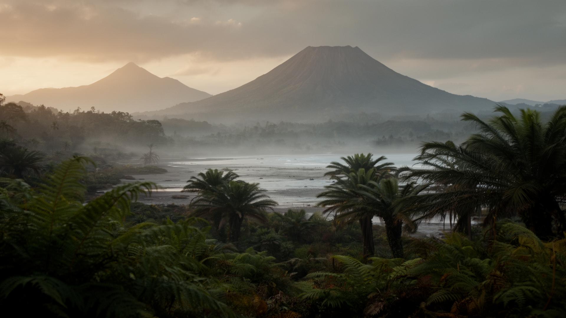
Why this belongs near Maps
Maps is the dominant spatial index of Earth.
It does not yet carry the temporal one. Climate, deep time, vanishing ecosystems, archaeology — these are queries users already type. The answers live in scattered papers, not on the map.
We are building that index, coordinate by coordinate.
Hand-tuned today, scaling through paleoclimate and biodiversity datasets next. Either it becomes a layer inside Maps, or a partner surface beside it. We are open to both.
Fifteen minutes
We are not asking for funding.
We are asking for a read.
Layer inside Maps, or partner beside it. Tell us which, and we build accordingly.
partners@deepearth.world